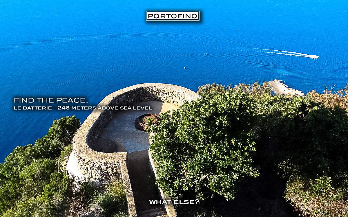
The territory covered by the vegetation map extends for about 1845 hectares and includes the entire area of the Parco del Monte di Portofino (about 1143 hectares) and the so-called “corridor area” (about 702 hectares), which develops adjacent to and along the inland boundary of the park. On one side, its boundary coincides with the coast fine from Camogli to Santa Margherita Ligure and, on the other, with a line that starts from Camogli and, excluding the major residential conglomerations, runs inland until it reaches the coast line near Santa Margherita Ligure. The geolithological substrate largely consists of theConglomerate di Portofino and Calcari del Monte Antola; sometimes in association with various types of detritic cover. consequently the geo-morphological structure is quite varied, with a prevalence of bleak, craggy formations and frequent rock outcrops, with different degrees of instability and erodibility. The highest conglomerate peak (610 117 a.s.1.) is that of Monte di Portofino, where remnants of a semaforo vecchio (a former lighthouse) are present. Going South East and partly on the same line, there are the peaks of Monte delle Bocche (506 in) and Monte Pollone (488 tn), which are of lower altitude, but still conglomerate.


